Interactive 3D Earth globe
A free interactive 3D model of Earth you can spin, zoom and explore right in your browser. The day-and-night terminator is computed from the current time, so the lit and dark sides match the real world this minute, with city lights glowing on the night side and the Sun glinting off the oceans. Search any country or city to fly there, turn on borders, clouds, the Moon, the live International Space Station or recent earthquakes, and scrub time to watch the seasons shift.
How to use it
Drag to rotate the globe, scroll or pinch to zoom. It auto-rotates until you touch it, and arrow keys work too.
Type a city or country in the search box and pick a result — the camera flies there. Tap “My location” to center on you.
Show borders, a coordinate grid, city labels, the Moon, the live ISS or recent earthquakes. Switch between realistic and stylized.
Drag the time slider or jump to a solstice or equinox to watch the day-night line and the seasons move, then save a photo or share the view.
Spin a photoreal planet with a live day-and-night line
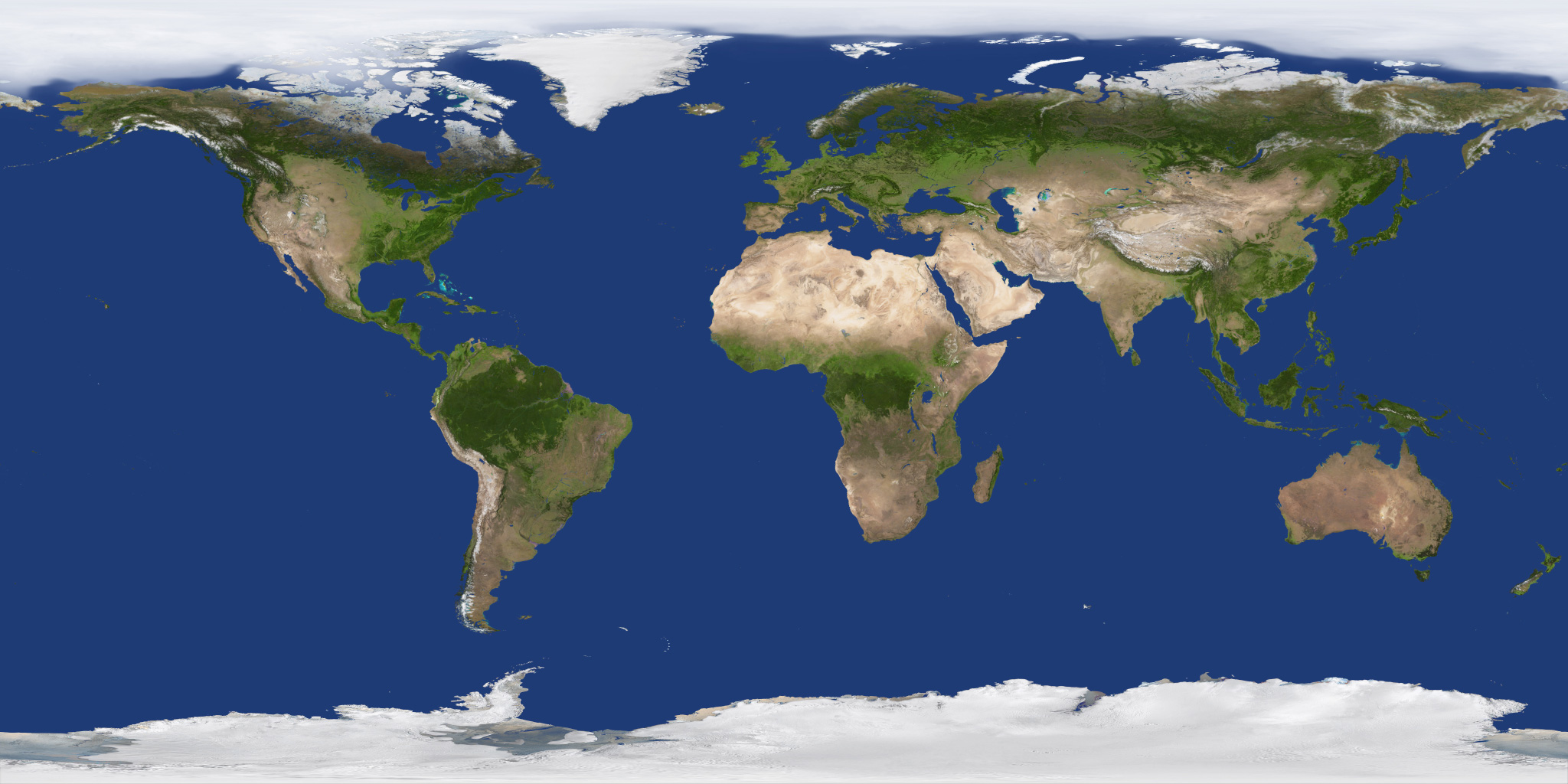
Earth textures: Solar System Scope (CC BY 4.0), based on NASA Blue Marble & Black Marble imagery. Country borders: Natural Earth. City data: GeoNames (CC BY 4.0). Live layers: wheretheiss.at & USGS.
What each layer shows and where it comes from
Three of the layers carry live data from different sources, each refreshed on its own schedule. The rest is computed geometry and needs no network at all.
| Layer | Shows | Source and freshness |
|---|---|---|
| ISS | The station’s current position and its ground track | Orbital elements from CelesTrak, refreshed every 6 hours; the position itself is propagated in your browser |
| Earthquakes | Earthquakes of magnitude 2.5 and above from the past day | USGS daily feed, re-read on our side and served from cache |
| NASA imagery | Recent cloud cover over the base map | NASA GIBS satellite imagery, last three days; gaps between passes are filled in the browser |
| Analemma | Where the Sun stands at the same hour through the year | Computed from the date — no data is fetched |
Because the station is propagated locally from orbital elements, the globe keeps tracking it even if the network drops after the page has loaded.
